

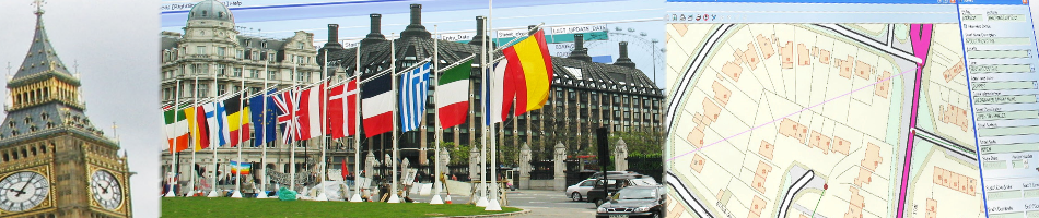


 An online mapping innovation from GGP Systems is helping Cumbria County Council serve essential information to citizens at the click of a mouse. The Internet based eGGP Geographical Information System (GIS) gives visitors to the site the ability to zoom in and out and pan around the map window or navigate to a specific location by entering a place name or postcode. Users can switch the background choosing either a traditional map graphic or an aerial photograph before selecting information they wish to display.
“We wanted the information on offer to be easy to use,” commented Nick Martin a member of Cumbria County Council’s ICT Team. “Using features and functionality familiar to other online mapping sites like Google Maps we are confident we have made the site very user friendly”.
Visitors to http://maps.cumbria.gov.uk can navigate around the site typing in a street name, number or postcode or selecting a specific location from a pull down menu. They can also interact with the map by zooming in and out on specific areas or panning the display window. Once zoomed in to a set scale the user can alternate between the Ordnance Survey map background and aerial photography supplied by Bluesky to help further identify the location of interest.
Once the desired location has been established the visitor can select the information they wish to display. Information currently available includes Adult Social Care – including Doctors and Dentists, Broadband slowspots and Household Waste Recycling Centres. Visitors to the site can also find their County Councillor or Member of Parliament as well as being able to access information on Schools and Libraries
GGP Systems, developers of eGGP, worked closely with Cumbria customising the off the shelf solution to meet the specific requirements of the County Council.
“GGP Systems helped us develop a solution tailored to our exact requirements,” concluded Nick. “Working with us to understand the functionality we wanted and the user experience we felt we needed to deliver. They have helped us at every stage of the project and continue to provide support as we add additional map layers to the site.”
– end –
About eGGP
eGGP has been specially developed to provide easy access to complex geographical information online. Giving frontline staff access to back office information or providing a spatial element to a public facing website eGGP is designed to improve customer service, increase service delivery options, including self service, and reduce inefficiency.
About GGP Systems
GGP Systems specialise in GIS and Gazetteer Management solutions specifically designed for the UK public sector. The South London based company provides easy to use software for the creation and management of corporate property databases, the ability to add and use a spatial element to all location based information and a range of solutions to meet both national and international Government directives.