

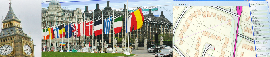

 Croydon, UK, 10 April 2013 – The Metropolitan Police Service is using the latest desktop mapping software to collate essential data about road traffic collisions in London. The advanced Geographical Information System (GIS) from GGP Systems in being used to identify and map the exact location of incidents where a personal injury has occurred and prepare detailed reports for partner organisations such as the Department for Transport (DfT) and Transport for London (TfL).
“Using GGP GIS we can record the exact location of an incident together with other, possibly contributing, circumstances,” commented a spokesperson for the Metropolitan Police Service. “This information is then used by the Department of Transport and Transport for London to help identify potential improvements to road layouts in order to prevent further collisions.”
Figures published by Transport for London last year showed that the total number of people killed or injured on the capital’s roads was at its lowest since records began in the mid 1980’s. In 2011 there were 159 fatalities on London’s road network; 25 per cent lower than the average figure between 2005 and 2009. The Mayor and Transport for London (TfL) also released a draft Road Safety Action Plan for the Capital that will cover the next eight years and outlines 70 proposed measures to improve the Capital’s roads. This Plan sets a target of a 40 per cent reduction in ‘Killed or Seriously Injured’ on London’s roads by 2020.
GGP GIS is recognised as the leading desktop system for storing, capturing, analysing and manipulating geographical data and images. GGP GIS provides the ability to store complex mapped information and read from and write to spatial databases, meaning information can be effectively shared between departments and partner organisations. This eliminates isolated data silos, reduces data duplicity and improves system interoperability, as well as enabling the joining up of diverse datasets to provide a richer information resource.
Contacts
Reader enquiries to GGP Systems on tel +044 (0)208 686 9887
Editorial enquiries, contact Robert Peel on tel +44 (0)1666 823306
Colour separation requests to robert@market-it.co.uk
www.ggpsystems.co.uk
Notes to Editors:
GGP Systems specialise in GIS and Gazetteer Management solutions specifically designed for the UK public sector. The South London based company provides easy to use software for the creation and management of corporate property databases, the ability to add and use a spatial element to all location based information and a range of solutions to meet both national and international Government directives.
For further information visit www.ggpsystems.co.uk