


GGP GIS Helps Improve Quality of Life for Scottish Council Residents
Croydon, UK, 04 September 2013 – Desktop mapping software from GGP Systems has been used by West Dunbartonshire Council to inform consultation on its new Local Development Plan. Designed to improve the quality of life for residents by improving access to parks and other municipal green spaces the project had to first assess the quantity and accessibility of existing open space. Using GGP’s GIS (Geographical Information System) the Council first mapped areas of public open space before considering their proximity to other areas and potential barriers to access. The Council also analysed the amount of open space in relation to population data.
“The aim of this project is ultimately to improve the quality of life for West Dunbartonshire Council residents by giving them greater access to quality areas of open space,” commented Craig Valentine, GIS Officer, Planning and Building Standards at West Dunbartonshire Council. “By considering what open space already exists, where it is located and potential barriers to access – such as railway lines and major roads, we can begin to identify how to improve access for residents. In addition by measuring the amount of open space in relation to population figures we can address potential under provision.”
Prior to the release of the consultation Main Issues Report, West Dunbartonshire Council undertook two distinct studies using GGP GIS. The first considered the accessibility of existing open spaces. In order to make this assessment the Council, using land use data from consultants AECOM, mapped all areas of open space larger than 1 hectare. Using GGP GIS a buffer of 300 metres was placed around the defined areas and significant barrier to access – in this case railway lines and the A82 trunk road – were used to dissect the accessibility polygons.
As well as looking at accessibility of open space the Council also needed to consider the quantity of open space. Using the same land use data within GGP GIS the total amount of open space was calculated. This area calculation was considered in relation to population data from the Scottish Government.
“Using data from these two studies we were able to identify which areas had poor access to areas of public open space and also which areas had a significant under provision of open space,” continued Valentine. “This analysis can be used to target investment and improvements in open space ultimately improving the quality of life for residents.”
CONTACTS:
Reader enquiries to GGP Systems on tel +044 (0)208 686 9887
Editorial enquiries, contact Robert Peel on tel +44 (0)1666 823306
Colour separation requests to robert@market-it.co.uk
www.ggpsystems.co.uk
Notes to Editors:
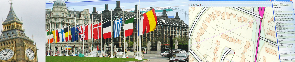
GGP GIS is recognised as the leading desktop system for storing, capturing, analysing and manipulating geographical data and images. GGP GIS provides the ability to store complex mapped information and read from and write to spatial databases, meaning information can be effectively shared between departments and partner organisations. This eliminates isolated data silos, reduces data duplicity and improves system interoperability, as well as enabling the joining up of diverse datasets to provide a richer information resource.
GGP Systems specialise in GIS and Gazetteer Management solutions specifically designed for the UK public sector. The South London based company provides easy to use software for the creation and management of corporate property databases, the ability to add and use a spatial element to all location based information and a range of solutions to meet both national and international Government directives.
For further information visit www.ggpsystems.co.uk