


Croydon, UK, 22 October 2013 – A desktop geographical information system (GIS) from GGP Systems has enabled Gosport Borough Council to successfully transfer decades’ worth of paper maps, documents and records from multiple sources into an easy to access digital mapping environment. Carried out in response to government requirements for Local Authorities to catalogue their land assets, the transfer of data to GGP’s GIS system means council operatives can now quickly establish who owns what in the popular seaside resort.
Following a number of council-led pilot projects, the Department for Communities and Local Government (DCLG) recently published a ‘demo’ map of public sector owned assets. It revealed widespread public property ownership, beyond frontline services, underlining the scope for savings and the potential of a national asset map. This map located over 180,000 assets owned by almost 600 public sector bodies including central government and local councils. Public sector assets are worth an estimated £385 billion and the Government estimates better property management, rationalisation and co-location of local services based on customer needs could potentially save £35 billion over 10 years.
“This was not simply a box ticking project,” comments Mike Glavin, GIS Administrator at Gosport Borough Council. “It has taken many years and lots of hard work, but we are finally confident that we have done all that is reasonable to establish responsibility for land in and around the town.”
Prior to the completion of this ambitious project, land tenure data was held in a variety of formats across multiple departments. Individual sections held information originally on printed linen maps before moving to paper maps annotated with coloured pencils and felt tip pens. Projects such as large scale reviews of refuse collection, street cleansing and landscape management contracts, involved large scale re-colouring of maps by hand. Even once GIS had been introduced into the Council it took another review of external contracts to provide the incentive for widespread digitisation of map-based intelligence.
At the same time as the paper maps were being transferred into GGP GIS, work was underway to definitively establish land ownership. The Head of Legal Services, working with the Land Registry Office, had been systematically transferring boundaries onto GGP GIS for a definitive overlay of Gosport Borough Council’s Freehold, Leasehold and Sold land. The data is now being used across the council and has recently been adopted by the Housing Unit’s Asset Management team as their definitive ‘Housing Land’ overlay.
For Gosport Borough Council, the end result of using GGP GIS is a detailed overview of its land assets which is now quicker and easier to use and which can be readily accessed from throughout the organisation. “What used to be a case of travelling to all four floors of the Town Hall to leaf through dusty books of dubious quality maps, making notes and sketches in each department, can now be done, thanks to GGP GIS, in a few clicks of a mouse,” continues Glavin. “This not only saves considerable amounts of time, but also allows us to get a better understanding of our assets and improve the provision of frontline services.”
CONTACTS:
Reader enquiries to GGP Systems on tel +044 (0)208 686 9887
Editorial enquiries, contact Robert Peel on tel +44 (0)1666 823306
Colour separation requests to robert@market-it.co.uk
Notes to Editors:
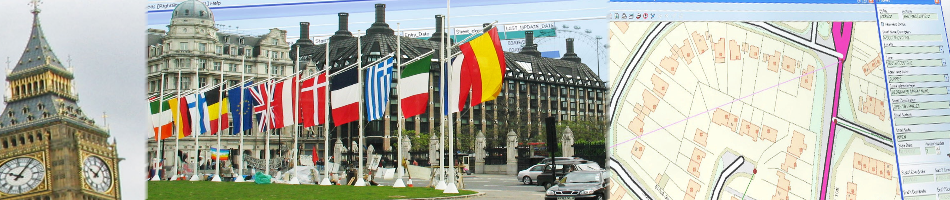
GGP GIS is recognised as the leading desktop system for storing, capturing, analysing and manipulating geographical data and images. GGP GIS provides the ability to store complex mapped information and read from and write to spatial databases, meaning information can be effectively shared between departments and partner organisations. This eliminates isolated data silos, reduces data duplicity and improves system interoperability, as well as enabling the joining up of diverse datasets to provide a richer information resource.
GGP Systems specialise in GIS and Gazetteer Management solutions specifically designed for the UK public sector. The South London based company provides easy to use software for the creation and management of corporate property databases, the ability to add and use a spatial element to all location based information and a range of solutions to meet both national and international Government directives.

GGP Gosport GIS