

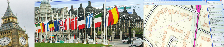

When it comes to maximising the potential of your mapping data, GGP’s extensive product portfolio has been specifically designed to help tackle these challenges.
Offering easy integration with other vendors’ systems, our products enable quick and simple management of geographic information. Built on 24 years of experience in the management and provision of geographic information in the public sector, our range of products allows you to:
- Store, capture, analyse and manipulate geo-spatial data
- Include geographic information within public-facing web sites
- Manage and maintain a Local Land and Property Gazetteer (LLPG) both within your organisation and at the national level
- Offer browser-based delivery of property-specific information
- Provide department and organisation-wide access to relevant databases
Six good reasons to choose GGP Systems
When it comes to the provision of geographic information and gazetteer systems for public sector applications, it’s true to say that no other provider knows you better. Here are just six of the many reasons why customers throughout the UK have chosen GGP Systems as their preferred partner for their GIS and Gazetteer systems:
![]()
Our solutions are your solutions Everything we do is developed with our users. This approach has given us a deep understanding of the problems you face and how to solve them, meaning that the solutions we offer are exactly the solutions you need.
![]()
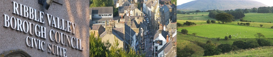
We know the public sector We focus exclusively on the UK public sector. Our products are used extensively by local councils throughout the UK and are increasingly being used by other public sector bodies such as police authorities and fire brigades.
![]()
Over two decades of knowledge and experience Established in 1992, GGP was one of the original pioneers in the design and supply of geographic information systems for local government. The knowledge and experience we have gained since that time makes us one of the most established geographic information systems providers in today’s market.
![]()
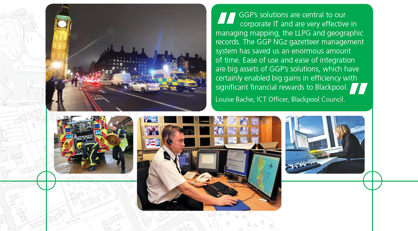
Unrivalled support We offer a dedicated team of software specialists who can help you with your every support or training requirement. As the people who built the software, they offer unrivalled knowledge both about our products and how they can be deployed to maximum effect throughout your organisation. We also offer comprehensive training, offered on-site, locally or at our own training centre.
![]()
Innovating all the time We are constantly looking for new ways to improve our offering and keep one step ahead of the growing challenges facing public sector organisations. For this reason, our product portfolio is constantly evolving, from the new features added to our ground-breaking GIS products or the launch of new software such as our GGP SNN Street Naming and Numbering software.
![]()
Total integration We have designed our software to work in conjunction with systems from other major back office system suppliers, giving you the freedom to choose the best of breed for your specific requirements. We operate a true open platform policy, helping to ensure on-going compatibility both with our own new products and those of other third party providers.
How can we help you?
Whatever your GIS or Gazetteer requirements, GGP Systems can help you to maximise the potential of your mapping data.
To find out more or to discuss how our products could be used in your application, please call us on 020 8686 9887 or email us at sales@ggpsystems.co.uk
To book a demo with one of our account managers, please email sales@ggpsystems.co.uk ref. ‘Demo’.